Drone Services North East

Aerial Data & Reporting

certified · Fully insured · CAA-compliant

We deliver structured aerial data capture for professional decision-making across construction, infrastructure, energy, and commercial projects. Our service provides accurate imagery, measurements, and technical reports designed to support engineers, project managers, and asset owners — not just raw footage.

Every deployment is planned around your data requirements, reporting needs, and site constraints. We process, analyse, and present information in formats suitable for technical review, compliance, and stakeholder communication.

Structured Aerial Data Capture for Professional Decision-Making

Aerial Data & Reporting services deliver accurate, structured aerial information designed to support technical review, compliance requirements, and informed decision-making across construction, infrastructure, and commercial projects.

We don't just capture imagery — we process, analyse, and present data in formats suitable for engineers, project managers, and asset owners. Every deployment produces structured outputs that integrate into your existing workflows, reporting systems, and documentation requirements.

Our approach combines: High-accuracy data capture using professional equipment and methodologies, comprehensive post-processing and analysis, structured reporting frameworks designed for professional use, and technical outputs that support decision-making — not consumer-grade footage dumped in a folder with no context.

Whether you need asset condition documentation, progress tracking, compliance reporting, or technical data for engineering analysis — our service delivers information you can use, not raw files you need to interpret.

Why Professional Aerial Data Matters

Structured, Not Raw

Most drone operators provide folders of unprocessed imagery with no context, no measurements, and no professional reporting. We deliver structured data — processed, analysed, and reported in formats ready for technical review, stakeholder presentation, or system integration.

Integration-Ready Outputs

Our deliverables integrate into CAD, GIS, BIM, and asset management platforms — not proprietary formats requiring specialist software. Orthomosaics, point clouds, and technical data are delivered in industry-standard formats suitable for professional workflows.

Professional Reporting Standards

Clear, well-structured reports combining imagery, data, and findings suitable for engineers, consultants, and decision-makers. Reports include executive summaries, annotated imagery, measurements, and recommendations — not just image dumps.

Quality Assured Data

All data outputs undergo quality assurance checks to verify accuracy, completeness, and fitness for purpose. We document methodology, provide accuracy statements, and ensure deliverables meet professional standards.

Led by an Offshore HSE Advisor

Our operations are planned and delivered by someone who understands construction, offshore, and industrial environments — not a hobbyist with a camera. This means proper safety planning, site integration, and professional communication throughout.

What This Service Delivers

High-Resolution Aerial Imagery

Clear, accurate visual documentation of sites, assets, and infrastructure captured from controlled aerial perspectives at resolutions suitable for technical analysis and professional presentation.

What you receive:

  • High-resolution still imagery (20-48MP depending on requirements)
  • RGB visual imagery for general documentation and assessment
  • Thermal imagery for asset condition assessment (where applicable)
  • Oblique and nadir perspectives for comprehensive coverage
  • Geo-referenced imagery with accurate location data
  • Time-stamped imagery for audit trails and verification

Applications: Site documentation, visual inspections, before/after comparisons, stakeholder presentations, marketing content, compliance documentation, insurance assessments.

Structured Data Outputs

Measurements, annotations, and technical data delivered in formats that integrate into professional workflows, CAD environments, and GIS platforms.

Available outputs include:

  • Orthomosaic imagery (georeferenced aerial maps)
  • Digital Elevation Models (DEMs) and Digital Surface Models (DSMs)
  • Point cloud data for 3D modelling (LAS/LAZ formats)
  • 3D mesh models for visualisation and BIM integration
  • Measurements: distances, areas, volumes, elevations
  • CAD-compatible exports (DXF, DWG formats)
  • GIS-compatible formats (GeoTIFF, shapefiles, KML)

Data accuracy: Horizontal accuracy typically 2-5cm with ground control, 10-30cm without. Vertical accuracy typically 5-10cm with ground control. Coordinate systems matched to client requirements.

Applications: Engineering design, quantity surveying, planning applications, as-built verification, asset management integration, progress monitoring, compliance reporting.

Asset Condition Reporting

Visual assessment and documentation of asset condition, defects, or areas requiring attention — supporting maintenance planning and informed asset management decisions.

Typical inspections:

  • Roof condition surveys (defects, drainage, structural issues)
  • Building façade inspections (cladding, render, windows)
  • Industrial asset monitoring (tanks, pipework, structures)
  • Infrastructure condition checks (bridges, masts, towers)
  • Solar panel thermal analysis for defect identification
  • Wind turbine blade condition assessment

Reports include: Annotated imagery with defects marked, severity classification, location mapping, photographic evidence, recommendations for remedial action or further investigation.

Applications: Planned maintenance, condition-based maintenance, insurance assessments, due diligence inspections, regulatory compliance, warranty identification, capital expenditure planning.

Progress Documentation

Time-stamped visual records of site evolution, suitable for stakeholder updates, programme verification, and visual evidence of work completed over time.

Services include:

  • Regular site overviews (weekly, monthly, or client-defined)
  • Time-stamped imagery with date and location metadata
  • Before/during/after comparative sequences
  • Milestone verification and completion documentation
  • Site condition at handover or defects liability periods
  • Evidence for payment applications and interim valuations

Delivery formats: Progress reports (PDF/PowerPoint), time-lapse videos, interactive web viewers, project management platform integration, comparison overlays.

Applications: Client updates, funder reporting, programme verification, payment applications, dispute resolution, defect identification, health and safety oversight, environmental monitoring.

Client-Ready Deliverables

Professional reports combining imagery, data, and findings in formats suitable for technical review, compliance documentation, and stakeholder presentation.

Report components:

  • Executive summary with key findings and recommendations
  • Site context and survey overview
  • Methodology and quality assurance procedures
  • Annotated imagery with observations and measurements
  • Data tables presenting measurements and findings
  • Maps showing coverage, locations, and observation points
  • Supporting technical data (point clouds, models, raw imagery)

Formats available: PDF reports, PowerPoint presentations, interactive web viewers, integration into client systems (SharePoint, project portals), custom formats tailored to client templates.

Applications: Technical submissions, compliance documentation, stakeholder presentations, asset management integration, insurance documentation, legal proceedings, audit evidence.


How It Works

From initial scoping through to final delivery, every deployment follows a structured methodology designed to deliver reliable, accurate data suitable for professional use.

1
2
3
4
5
1

Scope & Objectives

We begin by understanding what information you need, how you'll use it, and what outputs will support your decision-making process.

This stage includes:

Site briefing and objectives discussion, identification of required outputs and formats, accuracy requirements and quality standards, timeline and access constraints, safety and operational planning requirements.

2

Data Capture Planning

Detailed flight planning ensures comprehensive coverage, appropriate resolution, and data quality suitable for processing and analysis.

Planning considerations:

Flight path design for complete coverage, camera settings and resolution requirements, ground control point placement (where required), weather windows and lighting conditions, airspace clearances and regulatory compliance.

3

Controlled Deployment

Data capture conducted by experienced personnel following established safety procedures and operational protocols appropriate to the site environment.

Operational standards:

Pre-flight safety checks and risk assessment, controlled flight operations with monitoring, real-time data quality verification, site coordination and communication, compliance with HSE requirements and site rules.

4

Processing & Analysis

Raw data is processed into structured outputs using professional photogrammetry and analysis software, with quality assurance checks throughout.

Processing workflow:

Image alignment and point cloud generation, orthomosaic and elevation model creation, measurements and annotations, accuracy verification and quality control, format conversion for client systems.

5

Reporting & Delivery

Final deliverables packaged with clear documentation, methodology statements, and supporting information suitable for technical review or stakeholder presentation.

Deliverables include:

Professional reports (PDF/PowerPoint), processed data in agreed formats, supporting imagery and documentation, methodology and accuracy statements, technical support during implementation.

Typical Applications

Aerial data and reporting services support informed decision-making across construction, infrastructure, commercial, and industrial projects.

Construction Progress

Time-stamped site documentation for programme verification, payment applications, and stakeholder updates.

Building Inspections

Roof and façade condition surveys for maintenance planning, insurance assessments, and defect identification.

Industrial Assets

Tank farms, pipework, and structural asset monitoring for condition assessment and compliance reporting.

Infrastructure

Bridge, mast, and tower inspections supporting asset management and structural integrity reviews.

Solar Installations

Thermal imaging for panel defect detection, performance analysis, and warranty identification.

Wind Energy

Turbine blade condition assessment and inspection documentation for renewable energy operations.

Surveying & Mapping

Orthomosaics, elevation models, and volumetric measurements for engineering and planning applications.

Compliance Reporting

Visual evidence and technical data supporting regulatory submissions and audit requirements.

Highway & Rail

Transport infrastructure condition monitoring and as-built verification for maintenance planning.

Utilities

Power line, substation, and utility corridor inspections for asset condition and vegetation management.

Property Development

Site analysis, planning support, and marketing content for residential and commercial developments.

Engineering Design

Accurate topographic data and 3D models supporting engineering analysis and design work.

Environmental

Land use monitoring, vegetation surveys, and environmental impact assessment documentation.

Disputes & Claims

Independent visual evidence and measurements supporting legal proceedings and insurance claims.

Heritage & Conservation

Non-invasive documentation of historic structures and conservation project monitoring.

As-Built Verification

Post-construction verification that works match design intent and contract specifications.

Why Professional Data Matters

Most drone operators provide folders of unprocessed imagery with no context, no measurements, and no professional reporting. We deliver structured data — processed, analysed, and reported in formats ready for technical review, stakeholder presentation, or system integration.

What Sets Us Apart

  • Structured outputs, not raw files dumped in folders
  • Integration-ready formats for CAD, GIS, BIM, and asset management systems
  • Professional reporting standards with executive summaries and annotated imagery
  • Quality-assured data with accuracy statements and methodology documentation
  • Led by an offshore HSE advisor who understands construction and industrial environments

Who This Service Is For

Engineers, project managers, asset owners, consultants, and technical decision-makers who need reliable data they can trust — not hobbyists looking for pretty pictures.

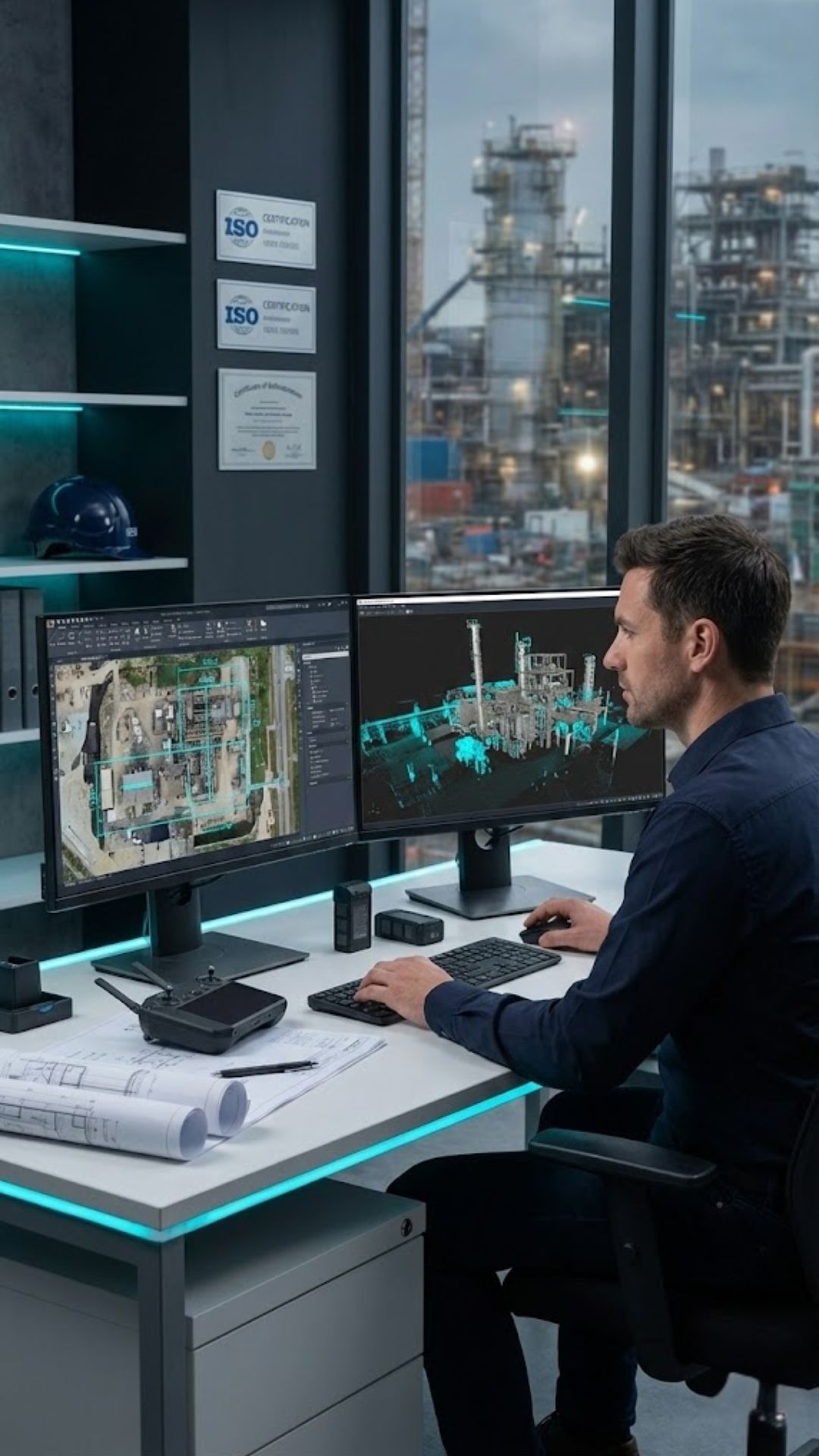
Professional drone data analyst reviewing aerial imagery and technical reports

Frequently Asked Questions

Your questions about aerial data capture, processing, and deliverables — answered.

What’s the difference between your service and standard drone photography?
Standard operators deliver unprocessed photos. We provide structured technical data: georeferenced, measured, and analysed outputs ready for engineering workflows — with accuracy certification, metadata, and professional reporting.
How accurate is your survey data?
With ground control points (GCPs): 2–5cm horizontal/vertical accuracy. Without GCPs (RTK/PPK): 10–30cm. Every project includes an accuracy report with RMSE values and methodology documentation.
What file formats do you deliver for engineering teams?
We provide native industry formats:
Point clouds: LAS/LAZ
Elevation models: GeoTIFF DEM/DSM
Contours/features: DXF, DWG, shapefiles
Orthomosaics: GeoTIFF with world file
All data is georeferenced to your required coordinate system (OSGB36, ETRS89, etc.).
Can you integrate with our existing CAD/BIM/GIS systems?
Yes. We’ve delivered data compatible with AutoCAD, Civil 3D, Revit, ArcGIS, QGIS, and asset management platforms. Just specify your system during scoping — we’ll match formats, coordinate systems, and layer structures.
Do you provide volume calculations for stockpiles or earthworks?
Absolutely. We generate precise volume reports for stockpiles, cut/fill areas, and excavation progress — with comparison maps between survey dates and CSV exports for your earthworks software. Accuracy typically within 1–3% of ground truth.
How do you ensure data quality and reliability?
Through rigorous QA:
• Pre-flight camera calibration
• Ground control point validation (where used)
• Tie-point density checks (>10,000 per hectare)
• Accuracy verification against check points
• Full processing logs and metadata documentation
Deliverables meet RICS and national surveying standards.
Can you capture both visual and thermal data in one flight?
Yes. We use dual-sensor drones (e.g., DJI M3T) to capture high-res RGB and radiometric thermal imagery simultaneously — ideal for solar farm inspections, building diagnostics, or electrical asset monitoring. Thermal data includes temperature measurements and anomaly reports.
What’s included in a “professional report”?
Our standard technical report includes:
• Executive summary with key findings
• Project scope and methodology statement
• Accuracy assessment and processing notes
• Annotated imagery with measurements
• Data tables (volumes, coordinates, defect logs)
• Supporting files (point cloud, orthomosaic, etc.)
Custom templates available to match your corporate standards.
How quickly can I get deliverables after the flight?
Standard turnaround: 3–5 working days for full processing. Urgent requests: 24–48 hours for basic orthomosaics or inspection imagery. Complex projects (e.g., large-scale topographic surveys) may require 7–10 days — confirmed during scoping.
Do you provide raw data alongside processed outputs?
Yes. Upon request, we supply:
• Original high-res images (20–48MP)
• Camera calibration files
• Ground control point logs
• Processing project files (Pix4D/Agisoft)
This ensures full auditability and allows your team to reprocess if needed.
Ready to Get Started?

Discuss Your Data Requirements

We'll advise on the most effective approach for capturing and reporting the data you need — from initial scoping through to final delivery.

Same-day response · No-obligation consultation

Safety-Led
£10M Insured
CAA Compliant
HSE Experienced