How accurate is your drone surveying data?
With ground control points (GCPs): 2–5cm horizontal and vertical accuracy. Without GCPs (using RTK/PPK): 10–30cm. Every project includes an accuracy report with RMSE values and methodology documentation — meeting RICS and national surveying standards.
What file formats do you deliver for CAD/GIS teams?
We provide native industry formats:
• Point clouds: LAS/LAZ
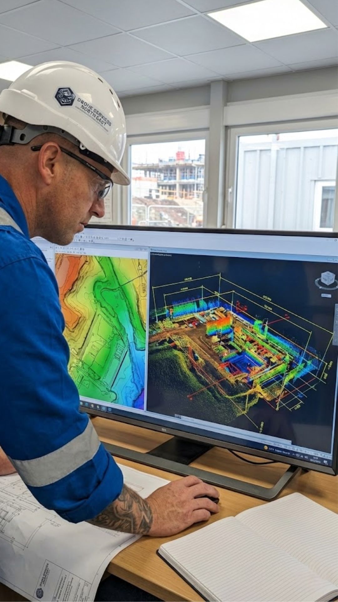
• Elevation models: GeoTIFF DEM/DSM
• Contours/features: DXF, DWG, shapefiles
• Orthomosaics: GeoTIFF with world file (.tfw)
All data is georeferenced to your required coordinate system (OSGB36, ETRS89, local grid).
Do you use ground control points (GCPs)?
Yes — when high accuracy (<5cm) is required. Our surveyors place and measure GCPs using GNSS rovers (±1–2cm accuracy). For lower-accuracy needs (e.g., visual inspections), we use RTK/PPK drones without GCPs to reduce cost and time.
Can you calculate stockpile or earthworks volumes?
Absolutely. We generate precise volume reports for:
• Stockpiles (individual or grouped)
• Cut/fill areas against design surfaces
• Progressive earthmoving between survey dates
Accuracy typically within 1–3% of ground truth when GCPs are used. Deliverables include CSV tables and 3D comparison maps.
How do you ensure data quality and reliability?
Through rigorous QA:
• Pre-flight camera calibration
• GCP validation and tie-point density checks (>10,000/ha)
• Accuracy verification against independent check points
• Full processing logs (Pix4D/Agisoft)
• Metadata package with coordinate system and methodology statements
All outputs are audit-ready for engineering or legal use.
Can your data integrate with our BIM or asset management system?
Yes. We’ve delivered data compatible with:
• BIM: Revit, Navisworks (via point clouds/meshes)
• Asset systems: SAP, Maximo, GIS platforms
• CAD: AutoCAD, Civil 3D, MicroStation
Just specify your system during scoping — we’ll match formats and coordinate systems.
What’s the difference between a DTM and a DSM?
• DTM (Digital Terrain Model): Bare-earth elevation — removes buildings, vegetation, and structures. Used for drainage, flood modelling, and earthworks.
• DSM (Digital Surface Model): Includes all surface features (trees, buildings, equipment). Used for viewshed analysis, solar potential, and as-built verification.
We can deliver both from the same flight.
How quickly can I get survey deliverables?
Standard turnaround:
• Basic orthomosaic: 24–48 hours
• Full topo survey (with contours): 3–5 working days
• Volume reports: 2–3 working days
Complex projects (e.g., large-scale DTMs) may require 7–10 days — confirmed during scoping.
Do you support legal or boundary surveys?
We provide supporting geospatial data for boundary disputes, easements, and land registry submissions — including:
• High-resolution orthomosaics with scale certification
• Feature extraction (fences, walls, kerbs)
• Accuracy reports and metadata
Note: Final legal boundaries must be certified by a chartered land surveyor — we complement their work with aerial context.
Can you survey large or complex sites (e.g., highways, quarries)?
Yes. We regularly map:
• Linear corridors (roads, rail, pipelines)
• Active quarries and mines
• Airports and port facilities
• Flood plains and conservation areas
Using systematic flight planning, we cover 100+ hectares in a single day — with no disruption to operations.